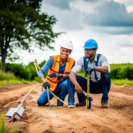
When it comes to planning and developing infrastructure, mining, and other projects, understanding the geology and soil characteristics of a site is crucial. This is where geophysical and geotechnical surveys come in. In this blog, we will explore the importance of these surveys and how Zelena Africa offers top-notch services in this field.
The What and Why of Geophysical and Geotechnical Surveys
Geophysical surveys involve the use of various instruments to measure the physical properties of the ground, such as electrical conductivity, magnetism, and gravity. This information can then be used to create a subsurface image of the site and identify any geological features, such as rock formations or groundwater.
Geotechnical surveys, on the other hand, involve drilling boreholes and extracting soil samples from different depths. These samples are then tested for their physical properties, such as density, porosity, and shear strength. This data can help determine the site’s soil stability, bearing capacity, and other factors that affect construction.
Together, these surveys provide a comprehensive understanding of a site’s geological characteristics, which is essential in ensuring safe and effective project planning and execution.
The Benefits of Geophysical and Geotechnical Surveys
By providing a detailed understanding of a site’s geology and soil characteristics, geophysical and geotechnical surveys offer numerous benefits. For one, they help reduce the risks of unexpected geological conditions, which can cause delays and increase costs in project implementation. Additionally, these surveys can help identify potential hazards, such as landslides or sinkholes, and implement appropriate mitigation measures. Moreover, these surveys can help optimize project design and construction methods, resulting in more efficient and cost-effective development.
Zelena Africa’s Geophysical and Geotechnical Surveys
At Zelena Africa, we understand the importance of accurate and reliable geophysical and geotechnical surveys. Our team of experienced geologists and engineers utilize the latest technology and techniques to provide clients with a clear understanding of their site’s geological characteristics. We offer a range of services, including ground-penetrating radar surveys, seismic surveys, resistivity surveys, and soil testing, among others. Our surveys are tailored to meet each client’s unique needs, ensuring that they receive the most comprehensive and accurate data possible.
Conclusion
Geophysical and geotechnical surveys are essential in ensuring safe and effective project planning and execution. By providing a detailed understanding of a site’s geology and soil characteristics, these surveys can help reduce risks, identify potential hazards, and optimize project design and construction methods. At Zelena Africa, we offer top-notch geophysical and geotechnical survey services that are tailored to meet each client’s unique needs. So, if you’re planning a project, contact us today to explore the depths of your site.
Related Posts
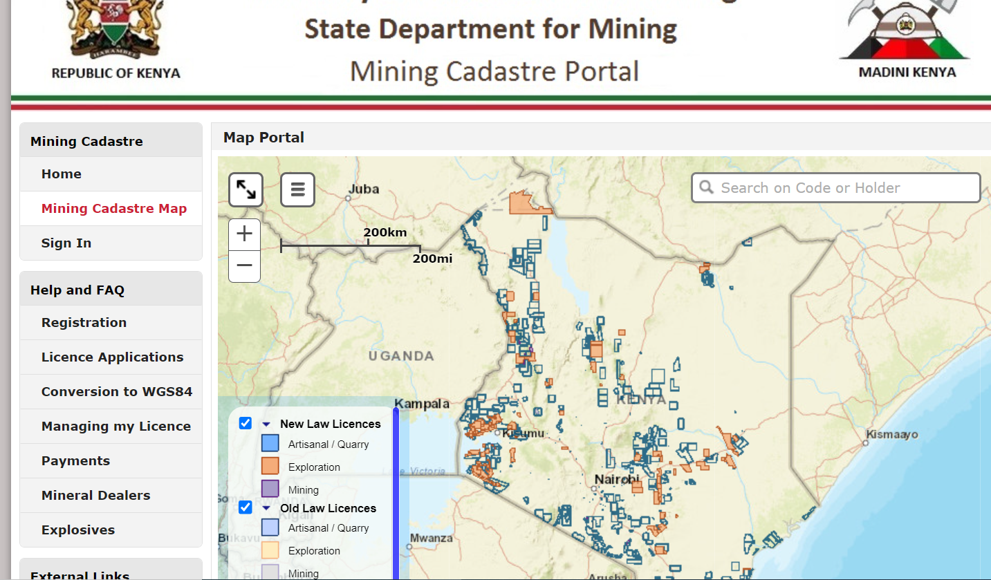
Kenya’s Mining Cadastre: Navigating Resource Legitimacy
Exploring the Functions and Significance of Kenya’s Mining Cadastre Portal In the realm of resource…
Social Assessment: Understanding the Role of Social Norms in Society
Social norms are a crucial part of any society. They inform the way people behave…
Promoting Religious Diversity and Enhancing Employee Satisfaction: A Comprehensive Guide
Promoting religious diversity and allowing employees to express their religion at work while reducing workplace…
10 Effective Tips for Reducing Job-Related Stress and Finding Balance
Introduction In today’s fast-paced and competitive work culture, job-related stress has become a significant concern…


